The River Roch

The river which flows through our town centre was once one of the prettiest in the region. With a ford at the Butts, it was described in the 17th century by Michael Drayton as a ‘dainty rill’ populated by minnow, loach and eels. The water was clear enough in 1868 for people to bathe in although given the pollution in the air and the poor water supply at the time, they were risking it ! In fact, there were calls from the mid 19th century to stop river pollution with human waste but to little avail even though the development of a good sewerage scheme was known to have positive health benefits. Whilst the Rivers Pollution Acts of 1875 and 1876 outlawed the flow of solid matter into rivers and required that manufacturing towns look to sewage disposal schemes to maintain their cleanliness, the Rochdale Observer in 1878 was still claiming that no such affordable scheme had been implemented and the river was as dirty as ever.
The Roch, as with so many rivers, was named after its wildlife. Along with other rivers such as the Ock (a salmon), the Laughern (a fox) and the Yarty (a bear !) which were all formed from Celtic or British words, the Roch’s name was testament to the river’s ability to support fish and supposedly nearby fauna along its banks. However, by the late 19th century the Manchester Times commented that although the river had been named after the silvery fish, ’it is needless to say that even a tadpole would hardly think life worth living amid its poisonous abominations.’
The Roch’s first appearance as a spring is minor and modest, rising as a trickle by Solomon Cutting on Chelburn Moor south of Todmorden on the North West side of Blackstone Edge and near to the source of the River Calder. From there it meanders down through Littleborough taking in small tributaries such as Clegg Hall Brook, Wuerdle Brook and Greenvale Brook and, growing in volume, is joined by the Beal at Belfield (where it got its name) after taking in Moss and Hey Brooks as well as Stanney Brook which flows down from Milnrow via Belfield. Snaking onwards, it passes under Molesworth Street near the baths and into the town centre by the new library at Riverside.

Now 8 miles from its spring, it becomes Rochdale’s river and has been the location for many colourful events in the town’s history. Most people have memories of the floods of 2015 but in 1856 the Observer reported the river to have risen three feet, flooding cellars in The Walk. Accidents near the river were frequent but none so dramatic as one in 1820 during a bull-baiting at the annual town fair. It seems that a bull, tied to a stake in the river, was being taunted by a crowd standing on the bank when the river bank collapsed and a small crowd fell into the Roch. Six men were killed and many more were seriously injured.
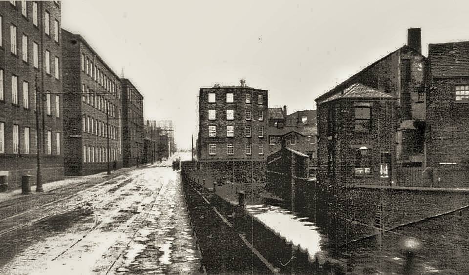
More happily, as part of the celebrations for Edward VII, the Prince of Wales’ marriage in 1863 there was a proposal to erect a fountain in the river just by the Wellington Hotel but this came to nothing, the suggestion being that fireworks would suffice ! Then of course there was the covering of the river, something that was proposed to ease the growing volume of tram traffic in town. The removal of the Walk footbridge and construction of Rochdale’s coverage of the river in 1904 was completed in inexpensive Ferro-Concrete in order to conjoin seven existing bridges. This was partly to accommodate a tram terminus in the town. One of the bridges had its origins in the 14th century and the single span made it – so Rochdale people liked to claim – the widest bridge in the world at just over 1460 feet by joining up the Wellington Bridge to the (then) new ornamental bridge at the Esplanade. A roadway came into being as a result of the widening. The covering of the river in the town centre cost £12,000 at the time. 25 tons of pig iron along with traction engines and a steam roller tested the new bridge’s strength with 125 tons, a weight which it easily withstood.
Flowing past Touchstones, the river picks up the River Spodden coming down from Whitworth then widens under Roch Valley Way taking in Sudden Brook and Naden Brook which had flowed down from Norden to meet the Roch north of Heywood. Flowing by Heywood and Bury, the Roch eventually meets the River Irwell east of Radcliffe at Blackford Bridge. Thereafter the Irwell takes the water to Salford, Manchester and into the Ship Canal, the Mersey and ultimately the Irish Sea.
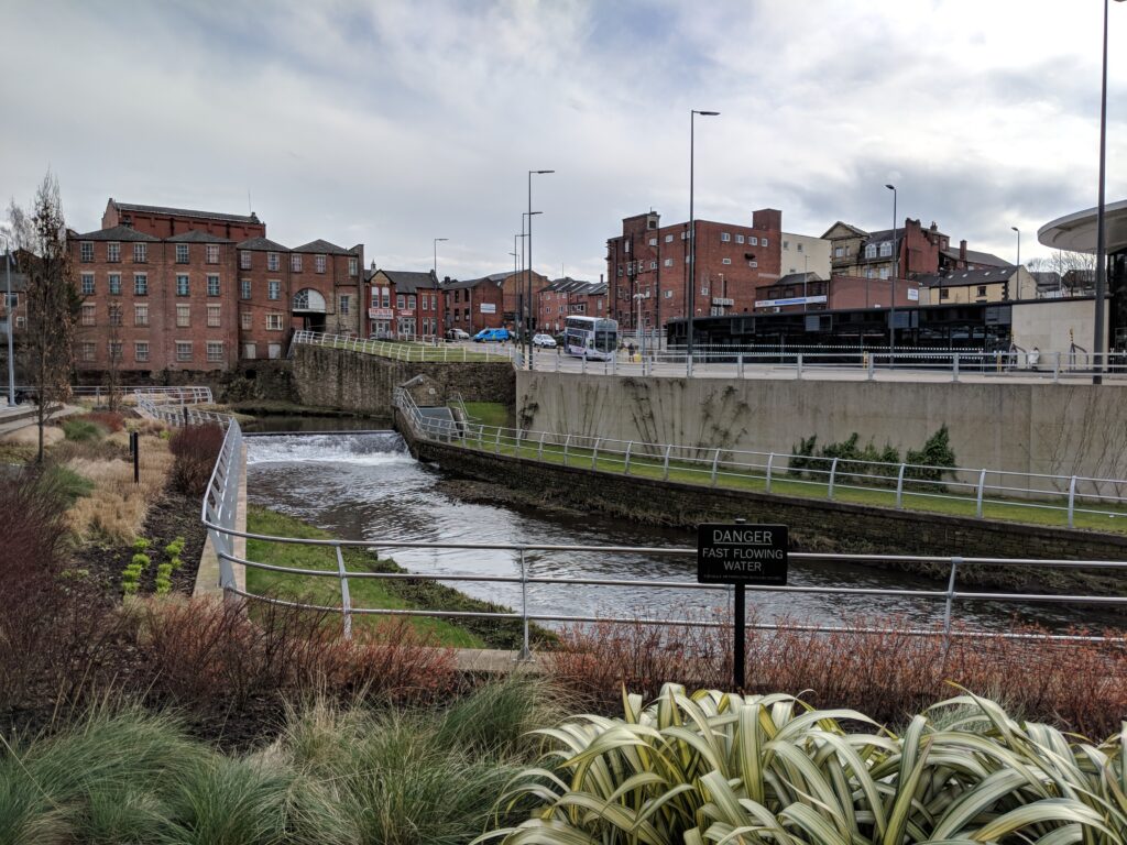
The river in the town centre is now partially revealed of course and notwithstanding the need to keep it litter-free, it is attracting wild life again and leisure activities. After heavy rain those carrying their canoes around dangerous weirs are launching near to Roch Valley Way and paddling happily between Rochdale and Bury. Otters, according to the Observer in 2011 are on the increase and anglers holding the right licenses are catching brown trout and five pound chub as near to the town centre as by Asda. In July 2018 a fawn was spotted in the river between the Police Station and Touchstones. Let’s hope that the river stays clean for Rochdalians so that from now onwards we can enjoy its waters and the town’s wildlife.